Minimal view
At GeoCat we’ve developed this view as an alternative to the default GeoNetwork view. The view has a subset of functionality available, therefore it looks plain and clear.
Minimal is the default view in GeoNetwork Enterprise.
Select the View
Configure alternative views via > > .
Hint
Start typing interface in the filter settings
The Minimal view uses customizated templates for the search results. These can be found in > > :
../../catalog/views/minimal/templates/list.html with icon fa-bars and tooltip List
../../catalog/views/minimal/templates/grid.html with icon fa-th and tooltip Grid
The list type in > > :
../../catalog/views/minimal/templates/list.html
Map configuration
To use a GeoNetwork Enterprise maps, go to > and follow these steps:
In Viewer Map Configuration set Path to the context file (XML) to
../../catalog/views/minimal/config-viewer-gne-map.xmland set the coordinates to:
MinX:-8604130.477526832MinY:-320097.07393612247MaxX:8948257.201654762MaxY:8720263.135408245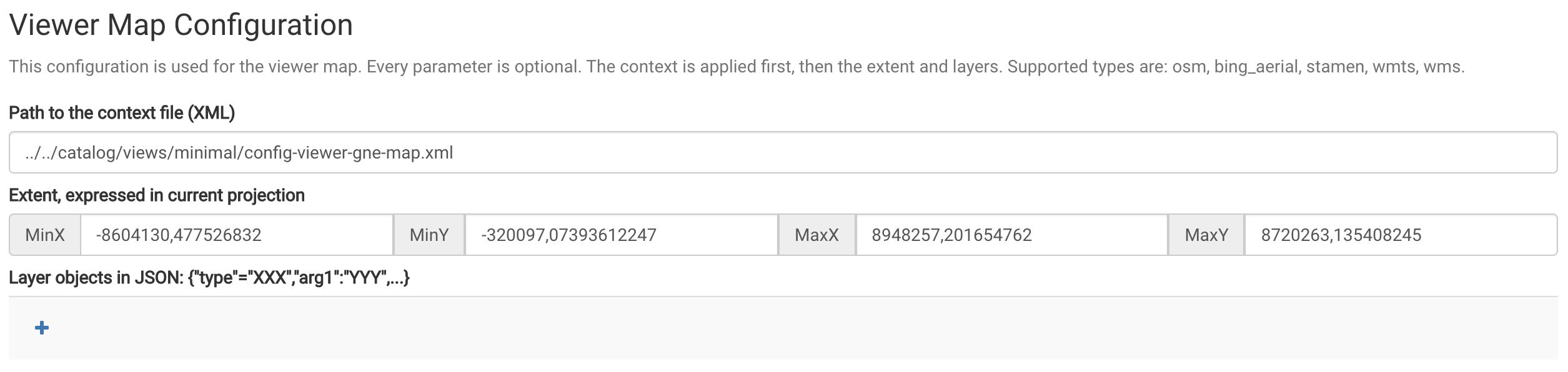
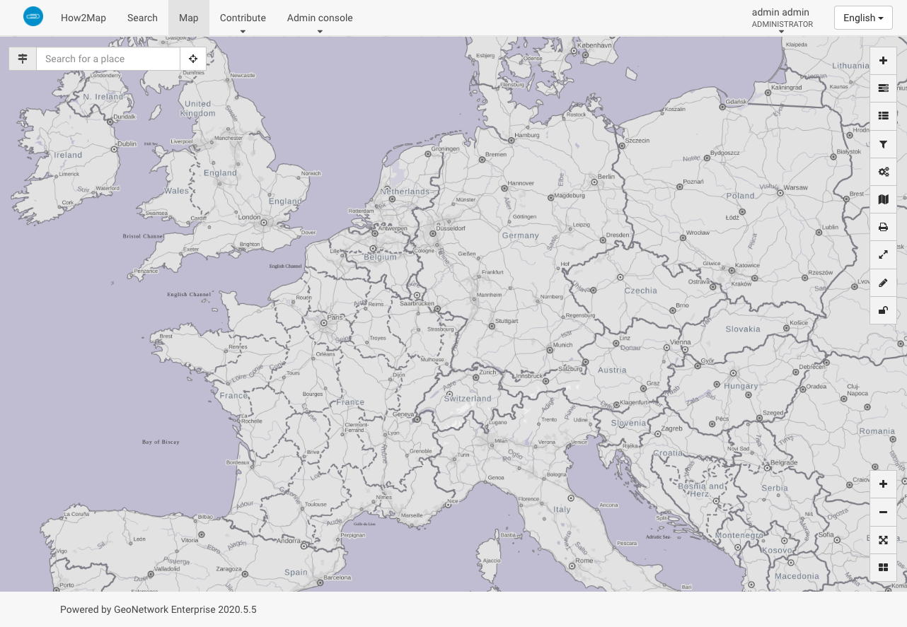
The map viewer with the custom GeoNetwork Enterprise map
In Search Map Configuration set Path to the context file (XML) to
../../catalog/views/minimal/config-viewer-gne-search.xmland set the coordinates to:
MinX:-180MinY:-90MaxX:180MaxY:90
you can also use the settings for the Viewer Map if you want to change maps.
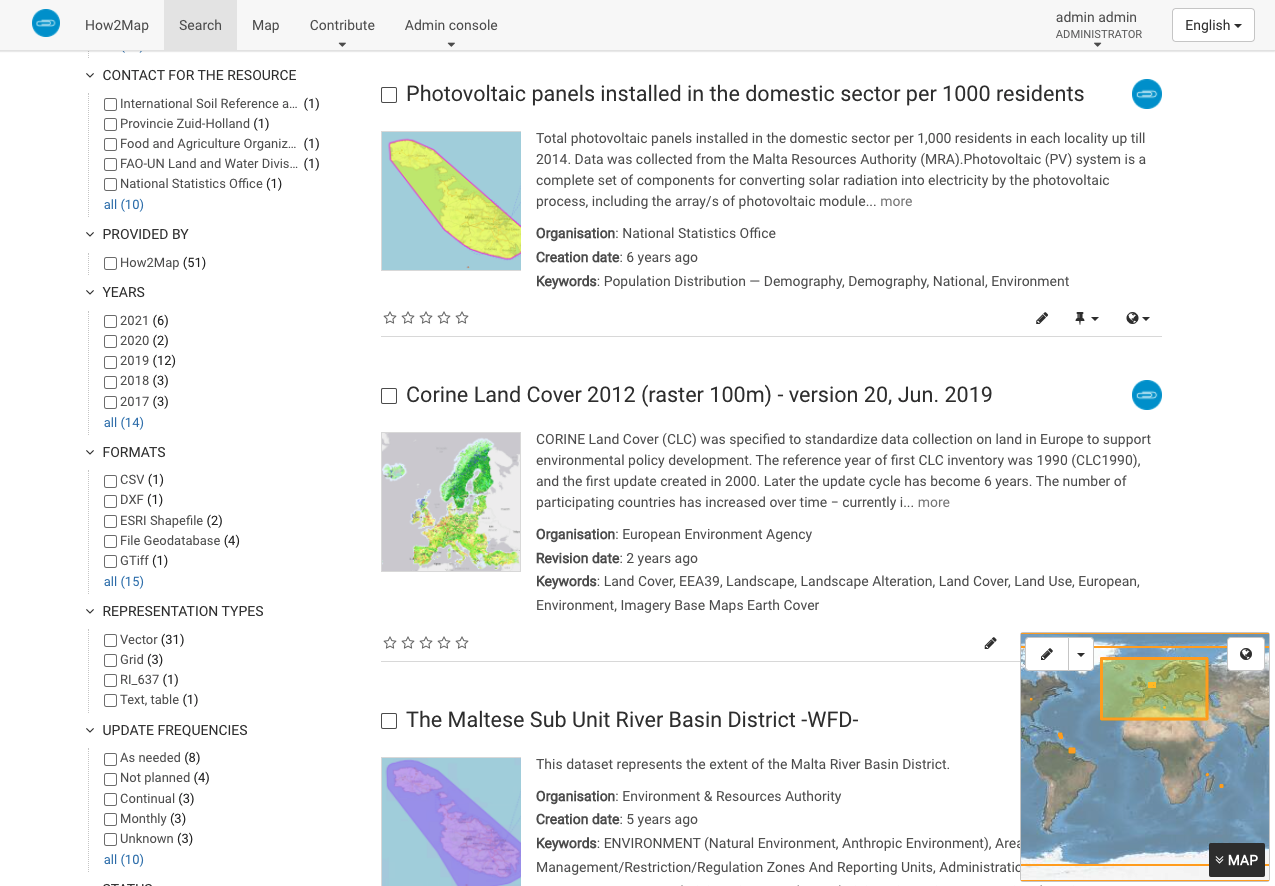
The custom GeoNetwork Enterprise map on the Search page
In Editor Map Configuration set Path to the context file (XML) to
../../catalog/views/minimal/config-viewer-gne-editor.xmland set the coordinates to:
MinX:-180MinY:-90MaxX:180MaxY:90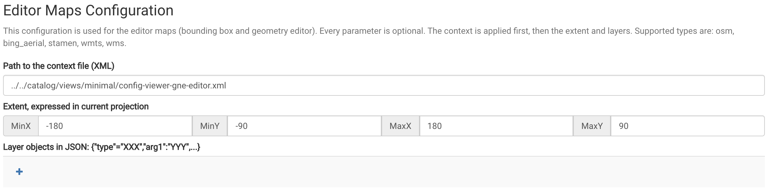
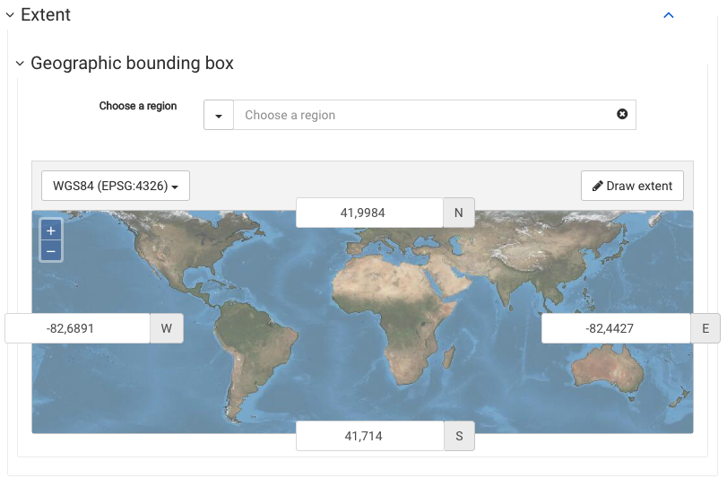
The editor with the custom GeoNetwork Enterprise map
Remove any eventually existing settings for Layer objects in JSON
The Viewer Map uses EPSG:3857 and the others use EPSG:4326.