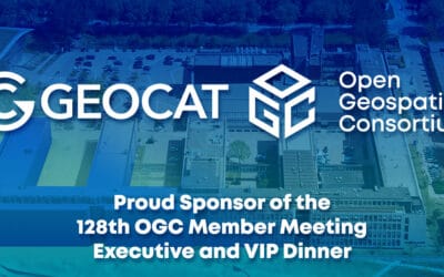
GeoCat is the proud sponsor of the 128th OGC Member Meeting in Delft, the Netherlands
GeoCat is happy to announce that we are the proud sponsor of the 128th OGC Member Meeting that takes place in Delft in the Netherlands from March 25th - March 28th, 2024. The meeting’s theme is “GEO-BIM for the Built Environment” and there will be a GeoBIM Summit, a...

GeoCat commits as Diamond Sponsor to OSGeo
Longtime leader in Free and Open Source Geospatial software and services demonstrates commitment to OSGeo with the highest level of sponsorship.

FOSS4G NA 2023
I had the great privilege to attend FOSS4G NA 2023 in Baltimore last month and catch up with the North American geospatial community. This was the first large regional event since Covid and it has been a long time since the last FOSS4G 2019 event in San Diego!...
Cyber Resilience Act
As a small and medium business operating in Europe GeoCat BV is clearly affected by the forthcoming European Cyber Resilience Act (CRA). We are a proud open source company and are concerned about our friends and partners caught up in the uncertainty around this...
FOSS4G 2023
Wow what an adventure, Jody Garnett here returning from visiting FOSS4G conference and the GeoCat offices. FOSS4G for the People The Free and Open Source Software for Geospatial conference was very much a community affair this year. FOSS4G 2023 was a chance to...
Open Standard / Open Source Sprint – April 2023
The GeoCat team had a rewarding experience attending the «Open Standard and Open Source Software» code sprint near Lausanne.
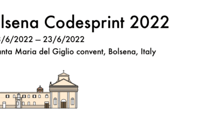
Bolsena Code Sprint 2022
Our last OSGeo “Code Sprint” event in Bolsena – Italy was in 2019. And this year we are back! The code sprint is planned for an extended period of 10 days, giving all that participate a chance to work and meet a little bit longer. The event in Bolsena is in an Italian...

GeoCat FOSS4G 2021 Recap
Presentations are an opportunity to share the technology and stories that bind our community together. In addition to sharing our work here at GeoCat we greatly appreciate the creativity and enthusiasm on display.
The conference was an epic 14 tracks wide offering an enjoyable overload of choice for all who attended.

Sprint de OGC API: febrero de 2021
En GeoCat hemos teindo la oportunidad de patrocinar un evento que captura a la perfección lo que nos encanta hacer como empresa. Durante febrero de 2021, el Open Geospatial Consortium (OGC) combinó sus fuerzas con otras dos fundaciones de código abierto, la Apache...

2020 spring release of the GeoCat Enterprise products
We’re delighted to share the next Feature release of GeoNetwork and GeoServer Enterprise, named 2020.5. The release was scheduled to arrive in spring 2020. Unfortunately the release has been delayed by various factors, amongst others the Covid crisis. In this...
Bolsena Code Sprint 2020 WFH Edition
GeoCat was pleased to organize and participate in one of the first OSGeo Code Sprints of 2020. With the key community sprint deployed, we made the hard choice to move the Bolsena Code Sprint 2020 to an online “work-from-home” format.Open-source from around the world...
GeoCat Bridge: Publishing for Search and Discovery
GeoCat Bridge extends QGIS to not only make publishing web maps easy, but also publishing for search and discovery. GeoCat Bridge publishes metadata to GeoNetwork so people can find your web maps and, more importantly, understand them. In this video, David shows GeoCat Bridge doing full publication.


