What is GeoServer for and how to use it? Jody Garnett of GeoCat takes you through the GeoServer basics in this presentation, recorded at FOSDEM 2020 in February in Brussels. A look at what makes GeoServer a succes and the technology stack that makes it possible.
FOSDEM is an annual event in Brussels for software developers to meet, share ideas and collaborate. This year at FOSDEM 2020 GeoCat was represented in the ‘geospatial devroom’ by Jody Garnett. He gave two orientation talks for anyone new to geospatial, about GeoServer and GeoNetwork.
What was your impression of the event?
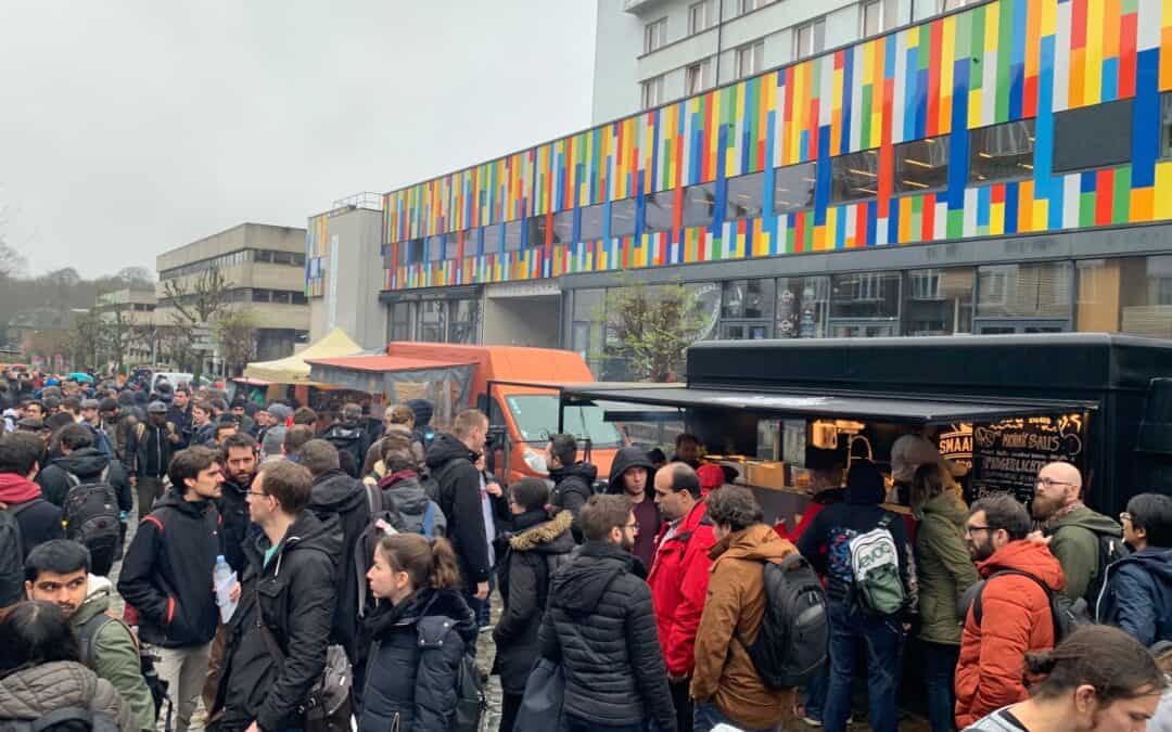
“I really enjoyed the event with presentations ranging from detailed code examples, to massive earth observation systems, back to low-level details on the benefit of using an r-tree. The geospatial devroom was packed, with a 45 minute line-up outside! I have shared some pictures online from the event, including a sea of soggy open source enthusiasts with food trucks. Thanks to the organizers for setting this up!”
GeoServer Orientation Presentation – FOSDEM 2020
In this video Jody explains the basics of GeoServer. He also takes you through the process of starting an individual workspace. He further highlights the systems behind GeoServer.
So, tell us, what is GeoServer?
“It is an open source server for sharing geospatial data. It’s been developed out of a passion for sharing data. You can build maps with it, but also share the data behind the map and add data from other sources. GeoServer can be considered a framework where you can hang-in all kinds of modules.”
What can I do with GeoServer?
“One, you can publish maps. Each dataset is a layer. Two, you can publish vector data, to share the data behind the map. Indeed you can also edit vector data. And lastly, you can also share direct raster data access.”
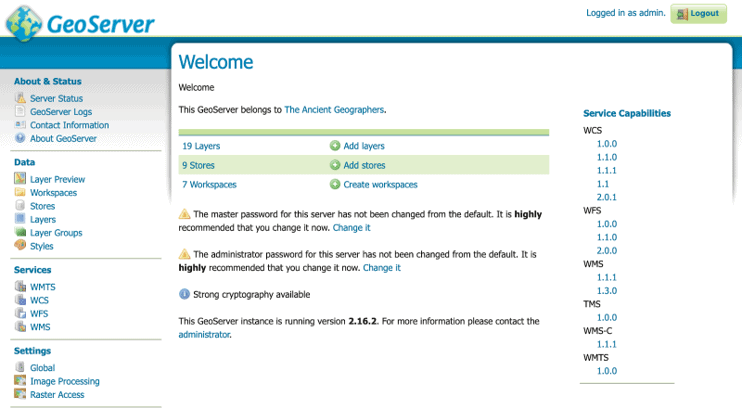
If I install and run the GeoServer application, what do I see first?
“You see a web application for configuration and setup. The services capabilities on the right are the actual web services and used to programmatically access the data.”
GeoServer is a modular framework. What kind of modules are available?
“One, there are official GeoServer plugins. They are called extensions. Two, there are community modules. This is like the R&D section. They have not yet met the GeoServer requirements for documentation and quality assurance. A lot of them never do. You use them at your own risk.”
What about the ecological footprint? Do I need the most fast and heavy computer to operate GeoServer?
“GeoServer never loads data into memory but is using streaming data access. This allows GeoServer to work with large datasets without being limited by memory. Memory helps when generating large images, so it very much depends on the map how much memory you need.”
So why not give it a go?
Also check: GeoCat Bridge. Create great looking maps and publish them to GeoServer, MapServer, QGIS and/or GeoNetwork metadata catalog. You can even upload your maps in PostGIS.


