Dutch view
Dutch view is a view plugin for GeoNetwork Enterprise. A view generally consists of a number of overrides for templates (html), styles (less) and scripts (js).
Features:
Design slightly follows dutch rijkshuisstijl
Introduces PDOK background layers as map backgrounds
Introduces PDOK locationserver as gazetteer
To install the plugin, follow the generic installation instructions for view plugins.
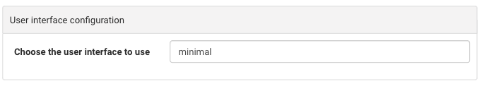
Select the view
In order to use the Dutch view you first have to go to .
Note
Start typing interface in the filter settings
Change the view to dutch (lowercase).
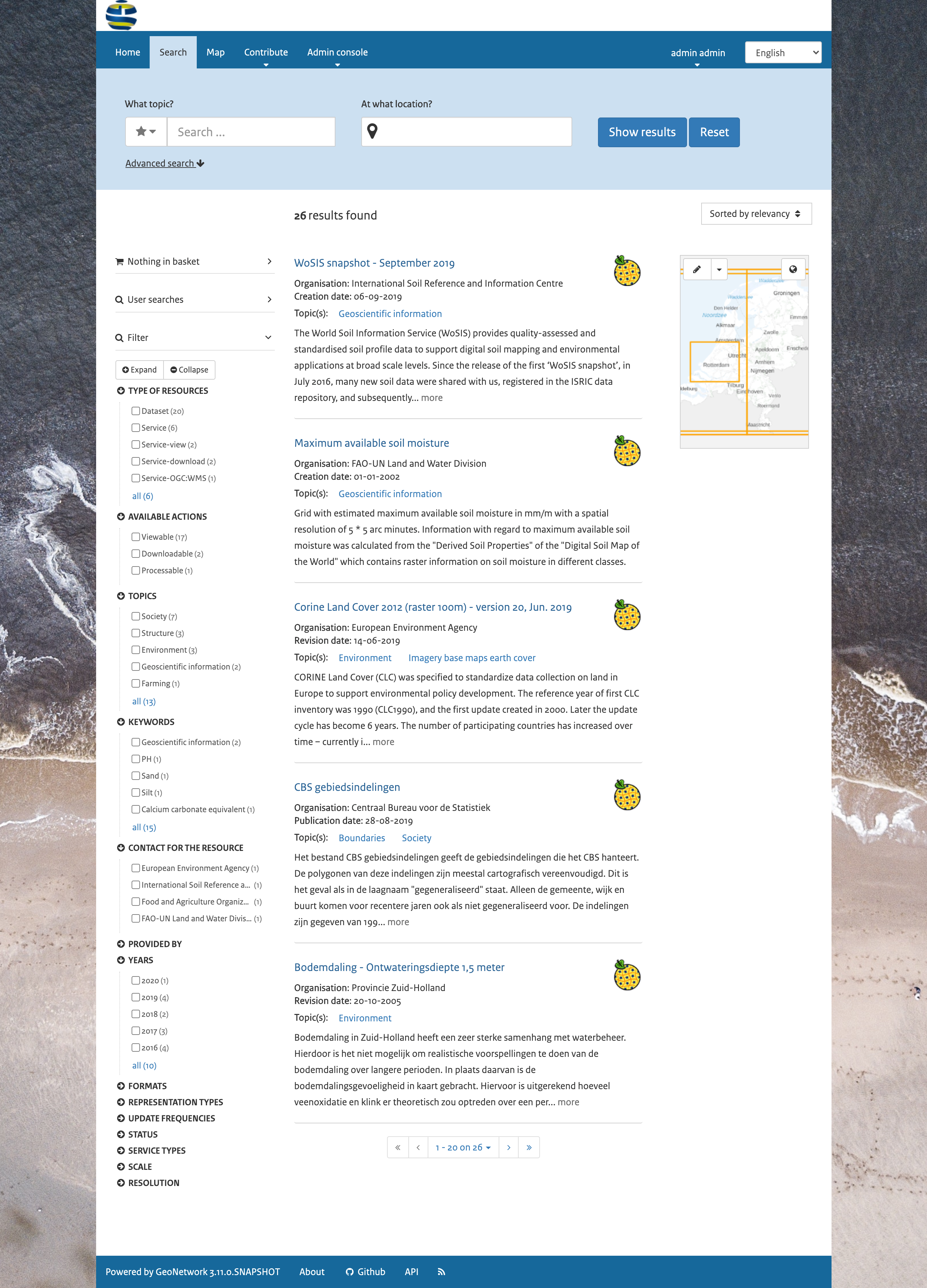
Display the search results
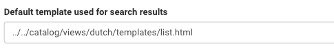
After saving the changes, the templates for displaying the search results can be replaced for templates from the view.
change the default template for the search results in to
../../catalog/views/dutch/templates/card.html.
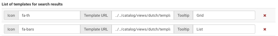
Change the settings for List of templates for search results in
../../catalog/views/dutch/templates/card.htmlwith iconfa-thand../../catalog/views/dutch/templates/list.htmlwith iconfa-bars
Adding facets on top of the search results
To add facets-display, navigate to and select the corresponding option.
Map configuration
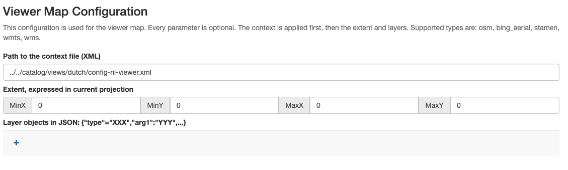
To use a Dutch map and Dutch coordinates, go to and follow these steps:
In Viewer Map Configuration, Search Map Configuration and Editor Maps Configuration set Path to the context file (XML) to ../../catalog/views/dutch/config-nl-viewer.xml
In Map projection and List of map projections to display bounding box coordinates in add
EPSG:28992:
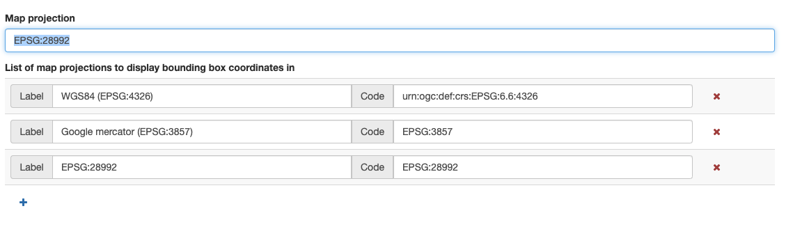
In Projections to display maps into add the
EPSG:28992configuration:
Definition:
+proj=sterea +lat_0=52.15616055555555 +lon_0=5.38763888888889 +k=0.9999079 +x_0=155000 +y_0=463000 +ellps=bessel +towgs84=565.417,50.3319,465.552,-0.398957,0.343988,-1.8774,4.0725 +units=m +no_defs
Default extension: 0, 300000, 300000, 630000 Maximum extension: 0, 300000, 300000, 630000
Dutch search terms
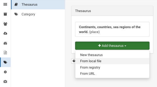
To search using a Dutch gazetteer, set the thesaurus used by the location-search (homepage), download file from Nationaal Georegister and upload it in file. It replaces the default regions thesaurus.
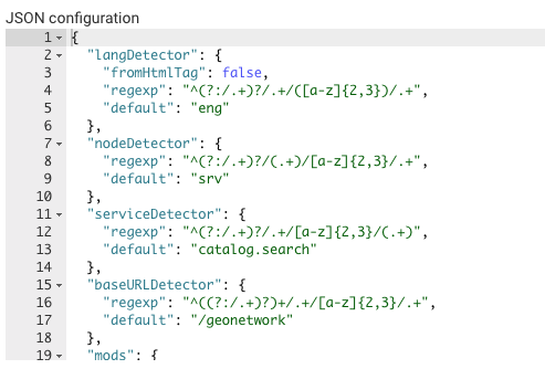
Export/Import settings
If you want to export your current settings locally (for archiving or port to another instance), go to the end of the page: JSON Configuration, copy the JSON and paste it in a text editor and save the file.